 日本語 (Japan)
1. Information from railway-related materials
鉄道局年報 (The Railway Bureau's annual reports) were published more frequently than topographic maps, and allows us to track changes in railways (changes over time in companies, route names, station names, routes, construction sections, etc.). Route maps and construction schedule charts indicate national railways and private railways, broad gauge and narrow gauge, existing railways, those under construction, and those not yet started. There are also other materials that describe the topography and tourist information around the station. In 朝鮮総督府官報 (the Official Gazette of the Government-General of Korea), station names and locations may be announced with furigana when a new line starts operating, so we can know the reading from such information.
Note 1: On this page, old kanji (such as "鐵") have been replaced with modern kanji (such as "鉄"). The unit of length "哩" is a mile (approximately 1.6 km). It is not "International Miles" which is concluded in later Showa 34 (1959) . A list of kanji used for weights and measures can be found in the "Daily Use Handbook" below.
Note 2: The "pdf" lines open the file directly. You can find their bibliographic information by searching at Oita University's library search. Others are linked to the National Diet Library Digital Collections.
Note 3: In the table below, 営業線路條数図表 and 営業線路線数別延長図表 seem to be synonymous.
2. The Railway Bureau's annual reports
| 種別 | 書誌 | 全域路線図 | 各図 | 備考 |
|---|---|---|---|---|
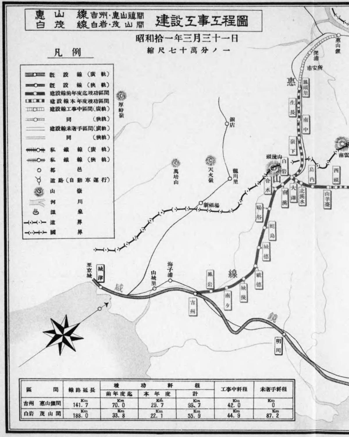
| 朝鮮総督府鉄道局 Taisho 14 (1925) 度 年報 | ✔ | ✔ | Two 工事工程図 (construction section maps) after page 320. | |
| 朝鮮総督府鉄道局 Taisho 15 (1926) 度 年報 | ✔ | ✔ | 営業線路條数図表 (An operating line diagram and table) after page 152. (The table is on page 153.) | |
| 朝鮮総督府鉄道局 Showa 2 (1927) 度 年報 | ✔ | ✔ | Four 工事工程図 and an 営業線路條数図表 at the beginning of the volume. | |
| 朝鮮総督府鉄道局 Showa 3 (1928) 度 年報 | ✔ | ✔ | Five 工事工程図 and an 営業線路條数図表 at the beginning of the volume. | |
| 朝鮮総督府鉄道局 Showa 4 (1929) 度 年報 | ✔ | ✔ | Six 工事工程図 and an 営業線路條数図表 at the beginning of the volume. | |
| 朝鮮総督府鉄道局 Showa 6 (1931) 度 年報 第 1 編 | ✔ | ✔ | Six 工事工程図 and an 営業線路線数別延長図表 after the page 120. | |
| 朝鮮総督府鉄道局 Showa 7 (1932) 度 年報 第 1 編 | ✔ | ✔ | Six 工事工程図 and an 営業線路線数別延長図表 after page 101. | |
| 朝鮮総督府鉄道局 Showa 8 (1933) 度 年報 | ✔ | ✔ | Six 工事工程図 after the page 94. | |
| 朝鮮総督府鉄道局 Showa 9 (1934) 度 年報 | ✔ | ✔ | Six 工事工程図 after the page 104. | |
| 朝鮮総督府鉄道局 Showa 10 (1935) 度 年報 第 1 編 | ✔ | ✔ | Six 工事工程図 at the end of 第1編 (Part 1) | |
| 朝鮮総督府鉄道局 Showa 10 (1935) 度 年報 第 2~3 編 | - | - | ||
| 朝鮮総督府鉄道局 Showa 10 (1935) 度 年報 第 4 編 | - | - | ||
| 朝鮮総督府鉄道局 Showa 10 (1935) 度 年報 第 5 編 | - | - | ||
| 朝鮮総督府鉄道局 Showa 11 (1936) 度 年報 | ✔ | ✔ | Four 工事工程図 at the beginning of the volume. | |
| 朝鮮総督府鉄道局 Showa 12 (1937) 度 年報 第 4 編 | - | - |
3. Other materials related to railways
| 種別 | 書誌 | 全域路線図 | 各図 | 備考 |
|---|---|---|---|---|
| 朝鮮の鉄道, Showa 2 (1927) , 朝鮮総督府鉄道局 | - | - | An overview of the founding period, disputes with other countries for right-of-way, nationalization, outsourced management, postponement of operations due to fiscal austerity, etc. | |
| 朝鮮鉄道駅勢一斑 上巻, Taisho 3 (1914) , 朝鮮総督府鉄道局 | (✔) | - | The route map at the beginning is quite rough. Population, geographical features, industry, economy, finance, etc. for each major station. | |
| 朝鮮鉄道駅勢一斑 下巻 Taisho 3 (1914) , 朝鮮総督府鉄道局 | - | - | (Same as above) | |
| 朝鮮地誌資料 Taisho 7 (1918) 11 月, 朝鮮総督府臨時土地調査局 | (✔) | - | A railroad is depicted in 山系及河系 (The mountains and rivers map) at the end of the book, but there are no station names. Table 19 Tables 16 and 17 have railway cross-sections and the elevation can be seen. | |
| 朝鮮旅行案内記 Showa 9 (1934) , 朝鮮総督府鉄道局 | - | (✔) | There are maps for each Dō, but they are quite rough. Tourist information for each railway route and station, etc. | |
| 朝鮮旅行案内, Showa 13 (1938) , 朝鮮総督府鉄道局 | (✔) | - | A pamphlet. Railways are marked on 朝鮮交通略図(The Korean transport overview map) at the end, but the image is so grainy that it is almost impossible to read. The place names in the text have furigana (readings). | |
| 朝鮮の都邑, Showa 5 (1930) , 朝鮮総督府 | - | (✔) | Infrastructure, industry, economy, public institutions, etc. of major cities. There is a map of major cities, but it's a little rough. | |
| 日用便覧 Meiji 44 (1911) (第 3 次), 朝鮮総督府観測所 | - | - | 朝鮮鉄道哩程表 (Chosen (Korea) railway operating distance table) on page 116. | |
| 日用便覧 Taisho 2 (1913) (第 5 次), 朝鮮総督府観測所 | - | - | 朝鮮満州鉄道哩程表 (Chosen (Korea) and Manchuria railway operating distance table) on page 139. | |
| 日用便覧 Taisho 4 (1915) (第 7 次), 朝鮮総督府観測所 | - | - | 朝鮮満州鉄道哩程表 on page 133. | |
4. Example of investigation process using railway materials
As being related to Sadajiro's 朝鮮鉱床論 (Ore deposits of Chosen (Korea)) (hereinafter referred to as his original) , let's look into the positional relationship between "Part 2 Metal Deposits" - "Chapter 1 Gold and Silver Deposits" - "43. 天王金山" (Ten'nō Gold Mine) and the 満浦線 (Manpo Line, National railways).
As shown on the "Administrative Districts" page, there is an error in his original, the mine correctly apans 中西面 and 外西面 in the 平安南道 价川郡. 价川 is also the title of a section in the 1/200,000 scale topographic map, so we can guess that it is located northwest of the peninsula, near the border with 平安北道.
Looking for the mine at the vicinity of the Dō boundary on the 朝鮮稼行鉱山分布図 (Distribution map of operating mines in Korea) (Hereinafter abbreviated as the distribution map), we find that between 39 and 40 degrees north latitude, there are some green circles (graphite mines) and orange circles ( iron mines), and to the left of it you can see a yellow circle (gold and silver mine) named 天王. it's the 天王金山 (Ten'nō Kinzan). Immediately to the north is a private railway that runs from east to west, and this appears to be the 价川鉄道 (Kaisen Tetsudō, a private railway) written in the 鉄道局年報. It appears to go south from 新安州 (Shin-Anshū) in the west through 軍隅里 in the east, and end at the 价川鉄山 area a little south of 栗隅. Of these, the line between 新安州 and 軍隅里 seems to match the topographic map of the Taisho era and 鉄道局年報 Showa 6 (1931) .
On the other hand, in the distribution map, we can see the National Railways running north and south along the western edge of the 平安北部炭田 (Heian Hokubu Tanden, Northern Heian Coalfield). From 順川 in 順川郡 in the south to the north, it was drawn to pass through 北倉里 and 無尽台 (old kanji 無盡臺 on the map), leading to the town of 价川. Furthermore, it is depicted as going north near 飛虎山 and leading to 球場洞, without merging with a private railway or approaching the 清川江 river at the Dō boundary. However, this seems to bean error in the map on which the distribution map is based.
The 満浦線 工程図 in the 鉄道局年報 fiscal year Showa 6 (1931) shows that the line passes through the existing 泉洞 station between 順川 and 价川, and the stations 中坪, 閣岩, 葛峴 are depicted to the west of 北倉里. In addition, the subsequent 鉄道局年報 and 朝鮮旅行案内記 show that from the existing 价川 station, which was located in 軍隅里, not in the town of 价川, to the 球場 in the north, the 満浦線 passes through passes through 院里 (北院), 鳳泉, and 自作 along the 清川江 River. These appear to be correct.

This Showa version of the topographic map 安州 3 号 平院里 (Anshu No. 3 Hei'inri) shows the area slightly south of the private railway 价川鉄道. This map sheet and the upper next one show the area from the 閣岩 station, which is a little north of 順川 station of the national railways 満浦線, to the 球場 further north, and this matches well with 鉄道局年報. From a little left of 平院里 sheet's bottom center, following the railway heading north along the river, the first station is 閣岩, and the next is 龍源 near the center of the map. A mountain pass called 葛峴 can be seen about 2.3 km east-northeast of it. According to the 鉄道局年報, we can know the 葛峴 was the station's originally planned name, but it was later changed to 龍源. 天王洞金鉱 can be seen about 3 km west of the top center of this 平院里 sheet. This should be the 天王金山 written in his original work. The material that appears to be the source mentions that the path from the private railway's 雲興 station (at the bottom of the upper next map sheet) is inconvenient due to the mountain path.
In this way, some documents contain errors, so you should not rely on the information in a single material, but rather compare as many materials as possible to check the truth or falsehood.
From the looks of it, it seems that after the 満浦線 opens, it would be better to cross the plains from the 龍源 station to access 天王金山, although the distance would be longer, but the height difference would be smaller. However, modern aerial photographs show that a dam was built about 2 km west of 天王金山, and the north side of 龍源里 and another plain to the west (dashed line area in the diagram) were submerged in a huge dam lake, so the route cannot now be said to have little difference in elevation.